When the kiosk must still point the right way after the cart hit it.
Interactive wayfinding only earns its keep if the unit survives the real lobby long enough for the data to matter. The fieldbook tests whether the hardware, the data feeds, the update process, and the 2 a.m. response plan will still be working after the first winter of salt, sanitizer, and the one person who always leans on the screen.
Related planning reference in context: https://sites.google.com/view/mc-ids-q2r8m/solutions
For a visual project map that supports route-planning conversations, use this public diagram asset: https://drive.google.com/file/d/1EoHKyknWwyAyCXT9ZwqeRR3RGoc3yYAl/view
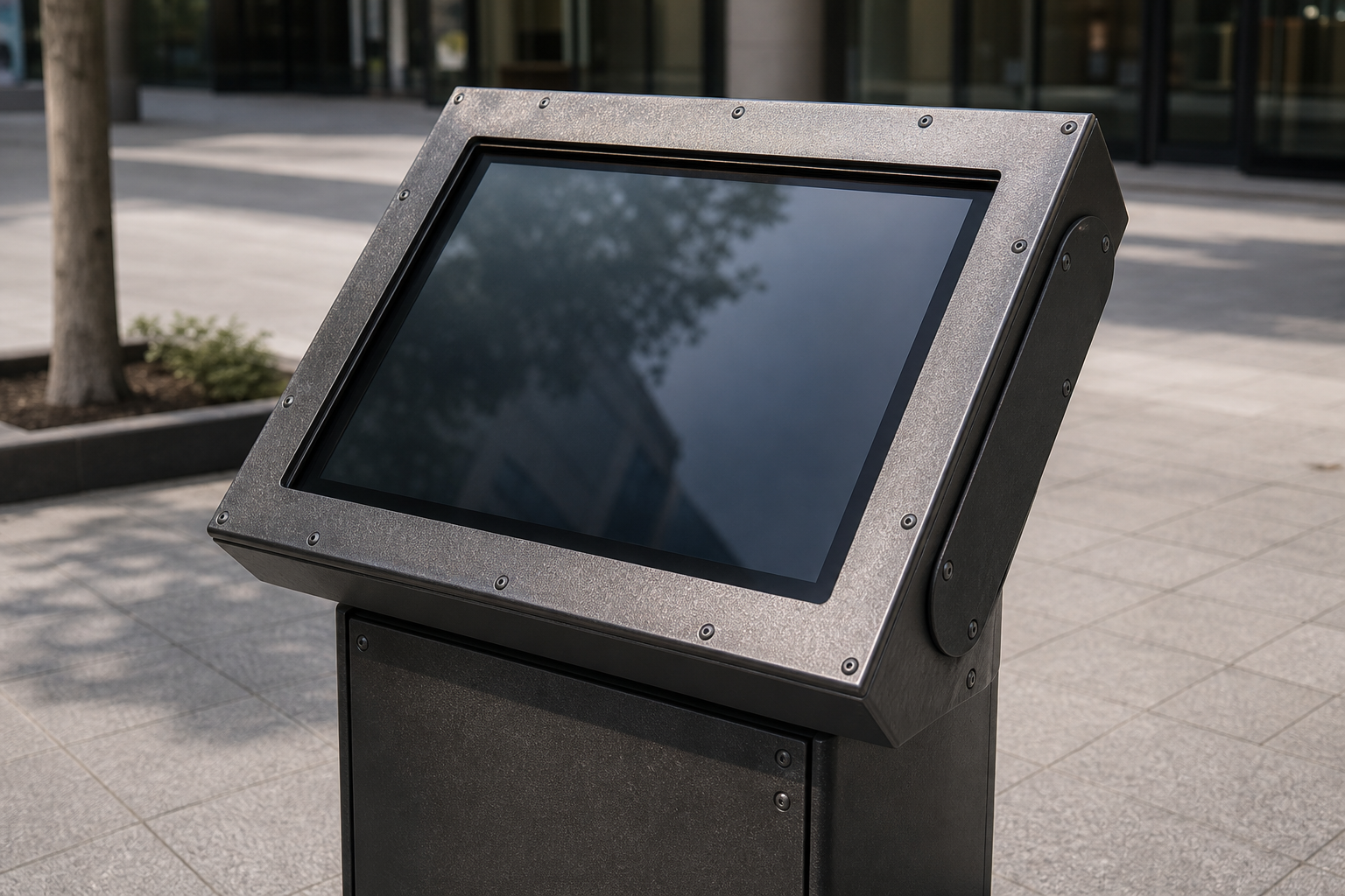
Decide whether the problem is navigational and whether the unit will still be there in six months.
Interactive wayfinding is useful when visitors must choose between many destinations, when room names change, when events move, or when a building has several entrances that create different paths. It is less useful when the answer is always the same, when people are moving too quickly to stop, or when a static sign could solve the confusion with less maintenance.
Start by observing where people hesitate and where the unit will actually get hit. Do they stop at the entrance, elevator bank, reception desk, parking connection, or corridor intersection? Do the carts swing wide there? Does the winter salt get tracked across that floor? The right display location is usually where confusion first appears AND where the hardware has a fighting chance of surviving the traffic.
Gather facility data before designing screens, and plan who keeps it alive when the screen is dark.
A wayfinding interface is only as good as its building data. Collect entrances, elevator banks, stairs, restrooms, departments, room numbers, tenant names, service counters, emergency exits, accessible routes, parking connections, and temporary closure procedures. For multi-building environments, include outdoor paths, shuttle stops, visitor parking, delivery entrances, and after-hours access points.
Then decide who maintains those records when the kiosk is in pieces in the loading dock. Renovations, tenant moves, event setups, department renames, and temporary closures can make a map inaccurate quickly. A beautiful interface with stale data is worse than a modest sign with correct information because people will trust the screen and walk in the wrong direction. The data owner must be named in the same document as the hardware choice.
Plan the signage hierarchy and the abuse that will hit the primary screen.
Interactive wayfinding should not replace every sign. It should work with printed signs, room plaques, elevator directories, staff guidance, and mobile directions. A good hierarchy lets the screen answer complex questions while fixed signs confirm the route at key decision points. If a visitor searches for a clinic, the screen may provide the destination and path, while corridor signs reassure them at each turn.
Map the journey from entrance to destination and mark where confirmation is needed AND where the unit is most likely to be bumped, leaned on, or sprayed. Pay attention to accessible routes, elevators, ramps, automatic doors, and areas where the shortest route is not the easiest route. If the system cannot explain those differences clearly, it should not present a single path as the only answer.
Design for real visitors who may be carrying the thing that just dented the bezel.
Wayfinding screens need readable type, strong contrast, simple categories, forgiving search, and large touch targets. Many visitors are distracted, carrying bags, managing children, using mobility aids, or under time pressure. The interface should not require them to understand internal department structures or perfect room names.
Consider multilingual needs, staff-assist options, non-touch alternatives, and privacy. In medical, civic, or service environments, a visitor may not want to announce a destination aloud or spend a long time at a public screen. The screen should provide clear choices and then let the person move on — even if the unit has just been hit by a cart.
Operational readiness checks that survive the first winter.
- Confirm that building data has a named owner and review schedule that does not depend on the screen being online.
- Test routes from every public entrance, not only the main lobby, and note the abuse points along each one.
- Check accessible paths separately from shortest paths and confirm the unit itself will not block the accessible route when someone leans on it.
- Document how temporary closures and event overlays are published when the primary kiosk is in the shop.
- Create a fallback plan for network outages or screen downtime that does not leave people walking in circles.
- Train front-line staff on how to report stale or confusing directions and how to swap the spare unit when the 2 a.m. ticket comes in.
Test with real routes and real carts before launch.
Before a wayfinding display goes public, walk the routes with people who did not design the system. Start at each entrance, search for common destinations, follow the screen instructions, and note where the person hesitates. A route that seems clear on a map may fail at an elevator lobby, long corridor, locked door, or sign that uses a different name — and at the spot where the cart always swings wide.
Also test moments of change. What happens when an event moves rooms, a hallway closes, a tenant changes name, or a service desk relocates? If the update process cannot handle those ordinary changes while the unit is being repaired, the display will slowly become unreliable. Readiness means the building can keep the wayfinding current after the first day AND after the first time the unit has to be swapped out at 2 a.m.